State Of The Art Drone Aerial Photography and Videography
With an eagle eye view and a state-of-the-art drone to capture any moment!
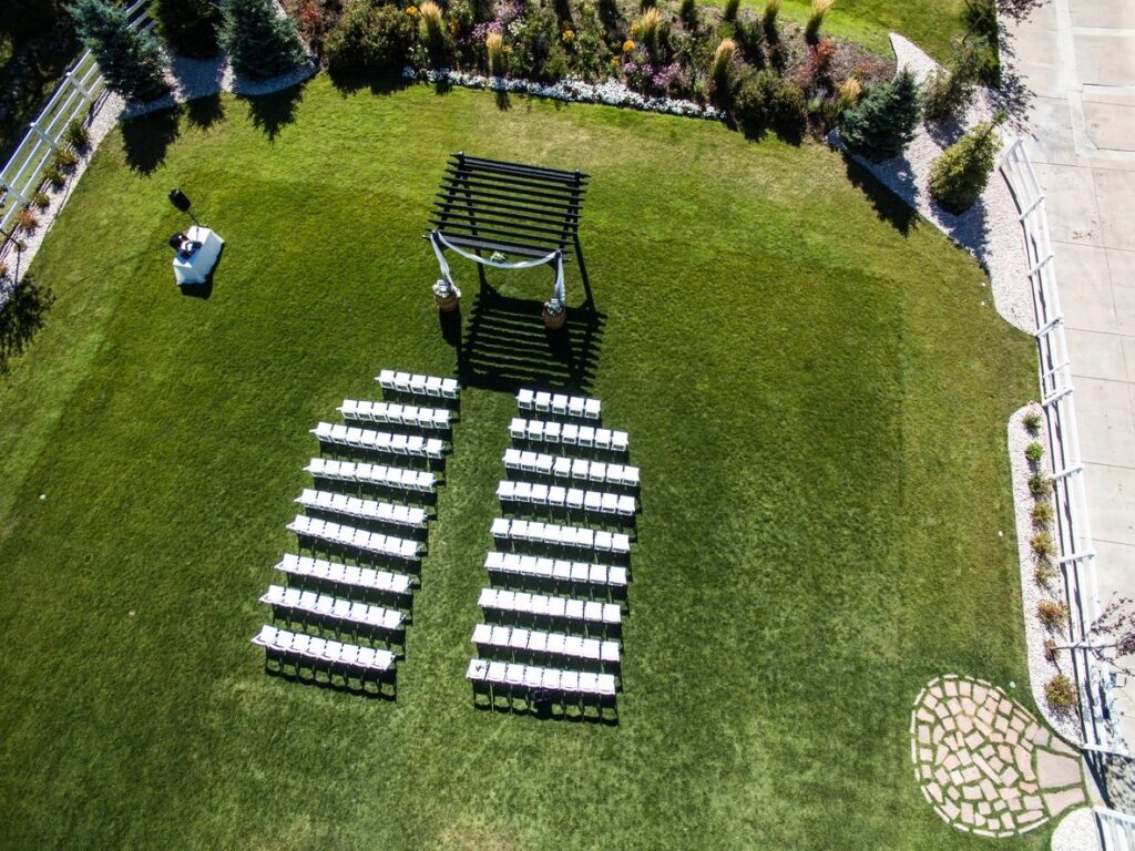
Wedding Aerial Photography & Videography
Capture your special day with breathtaking aerial views. Our drones provide unique perspectives that highlight the beauty of your wedding venue and surroundings.
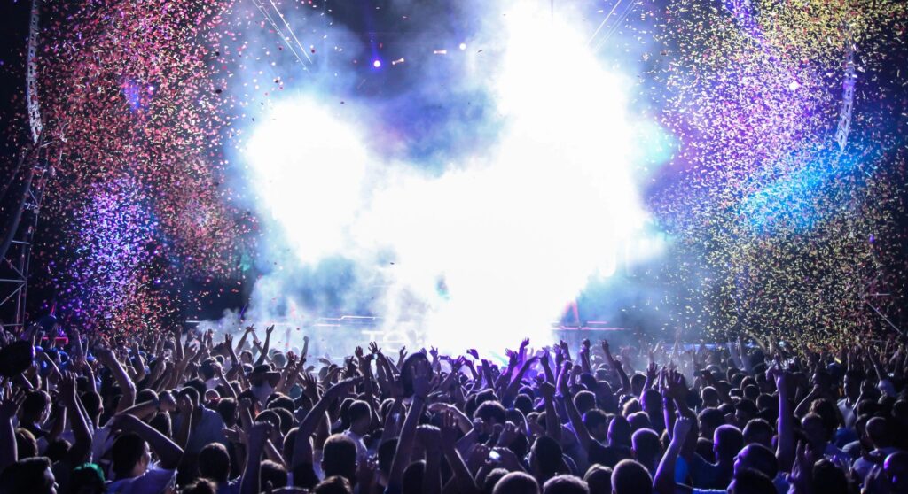
Event Coverage
From concerts to festivals, our drones offer unmatched coverage, providing high-definition visuals that encapsulate the essence of any event.
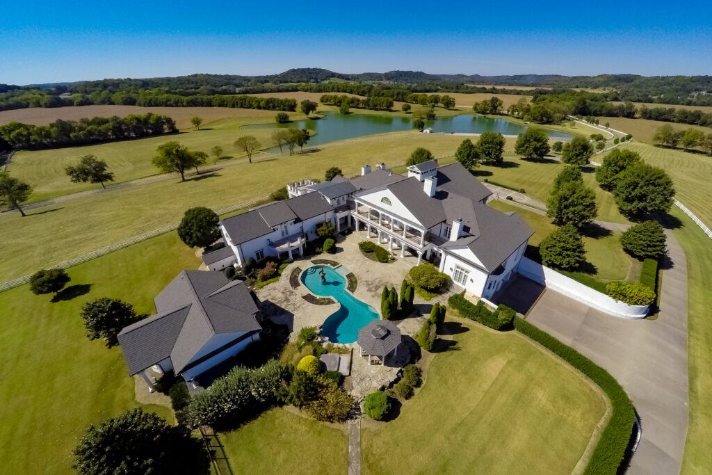
Real Estate Aerial Photography & Videography
Showcase properties like never before with stunning aerial images and videos that highlight the features and layout of real estate listings.
When Lives Are In Danger, We Are There To Help!
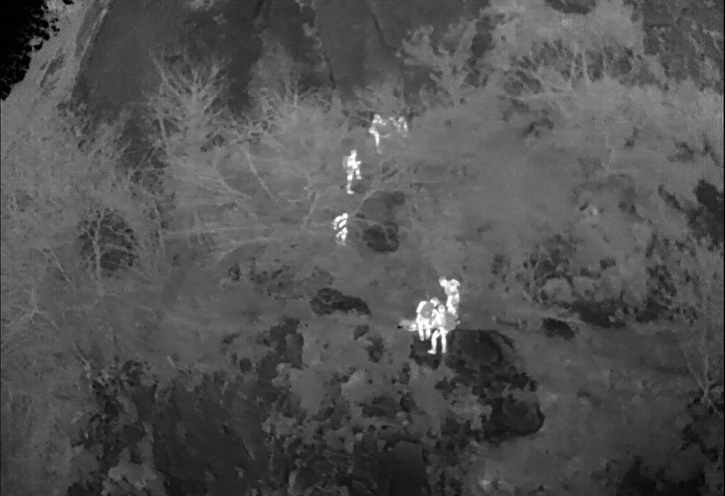
Aerial Search & Rescue / Advanced Thermal Imaging
Day or night, We can focus confidently on rescue missions with powerful high-definition thermal vision and unmatched low-light technology. Our multi-spectral systems includes models with HD color and low-light cameras, laser finders and superior image stabilization.
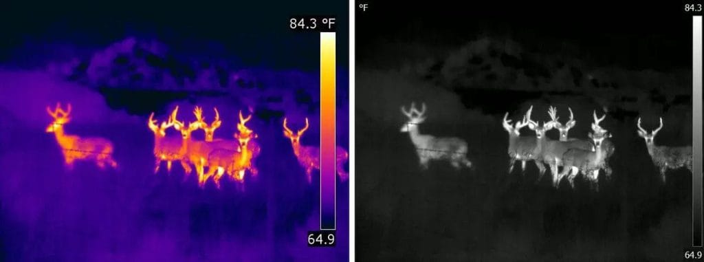
Thermal Drone Wildlife Management
(Day or Night) Deer & Cattle Management We can inventory head count, ranch mapping, game-fence inspections, deer location, predator management, Buck-To-Doe ratios, wildlife per acre, property and harvest recommendations for your ranch manager.
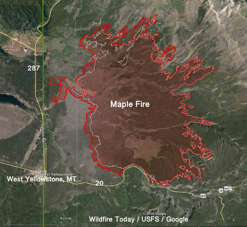
Aerial Wildfire Grid-Mapping
Helping fire departments stay on top of fires to plan, manage, and respond to emergencies by calculating changing winds speeds, direction and hot spots to quickly get to areas of danger such as structures, homes and animals to quickly evacuate and inform public.
When Precision Counts!

Advanced Audio, Video Editing & Mastering
We have an extensive background in audio and video editing spanning from years of experience Mixing and Mastering for Music, Videos, Commercials and Television. We can elevate and master your audio video to highest levels above industry standards.
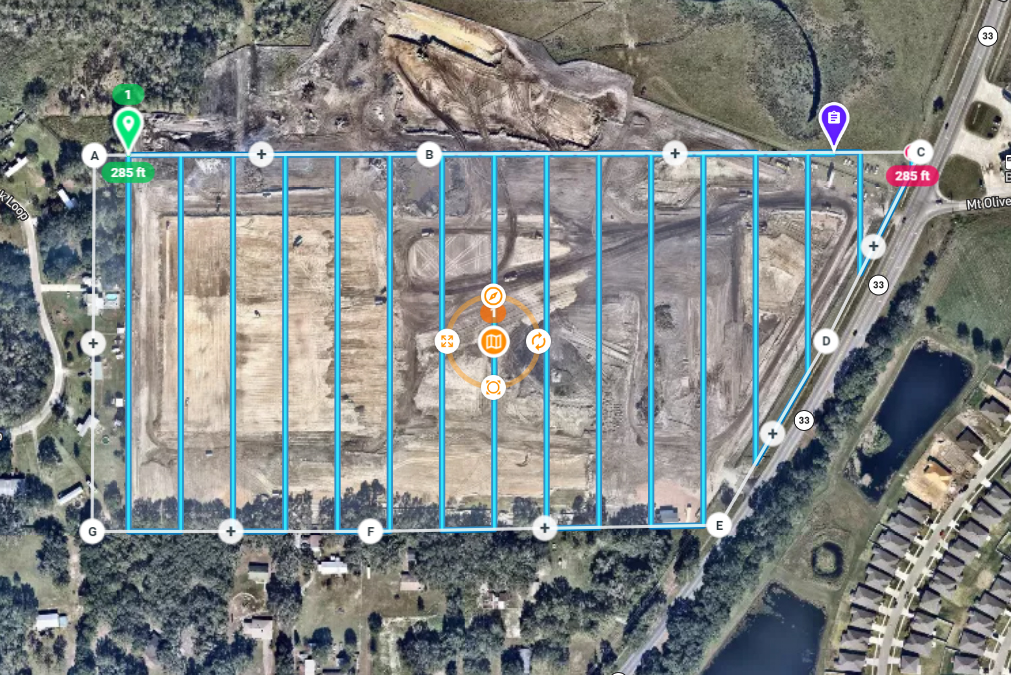
Orthomosaic Mapping Services
A is a single, geometrically corrected image created through the combination of many photos. Our orthomosaic mapping technology uses the drone’s GPS location to capture geo-referenced imagery. Our software then merges/stitches together hundreds or thousands of high-resolution images to create a precise orthomosic phot/map.
With map resolutions up to 0.7 inches per pixel, you’ll be able to see individual blades of grass poking through cracks in the parking lot.
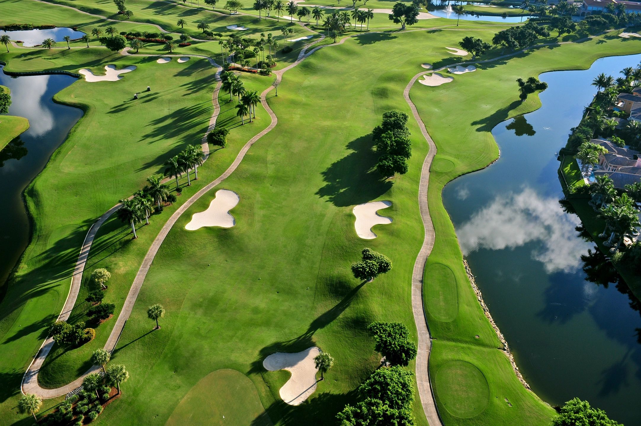
Aerial Golf Course Grid-Mapping
Know the square footage of different turf types, water features, hazards and other surface materials on your course. These precise numbers allow your cost breakdowns to become easily managed while giving you insight to specific costs for specific applications. Additionally, establishing a baseline for properly determining pre-storm damage can increase payout for a documented loss.
JUST A FEW OF OUR SERVICES
- Real Estate Drone Photography
- Aerial Construction Photography
- Event Drone Photography
- Aerial Wedding Photography
- Aerial Landscape Photography
- Drone Photography for Business
- Aerial photography
- Drone videography
- Aerial drone photography
- Real estate drone photography
- Drone photo services
- Commercial drone photography
- Professional drone photographer
- Event drone photography
- Real estate aerial photos
- Drone photography near me
- Aerial video services
- Drone Photography Cost
- Wedding drone photography
- Construction drone photography
- Drone photography for business
- Outdoor aerial photography
- Drone videography for real estate
- 360 drone photography
